Martindale Road to Tom Davies Square (JCWP)


Location: South of Downtown Sudbury
Parking: none
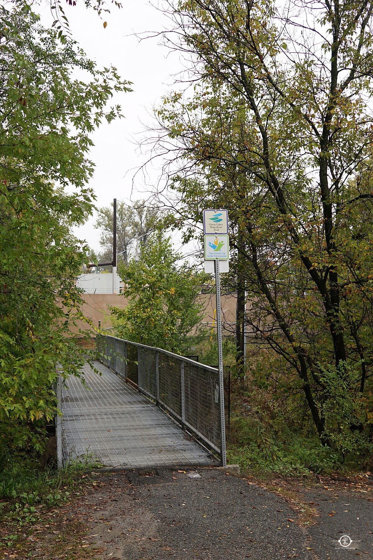
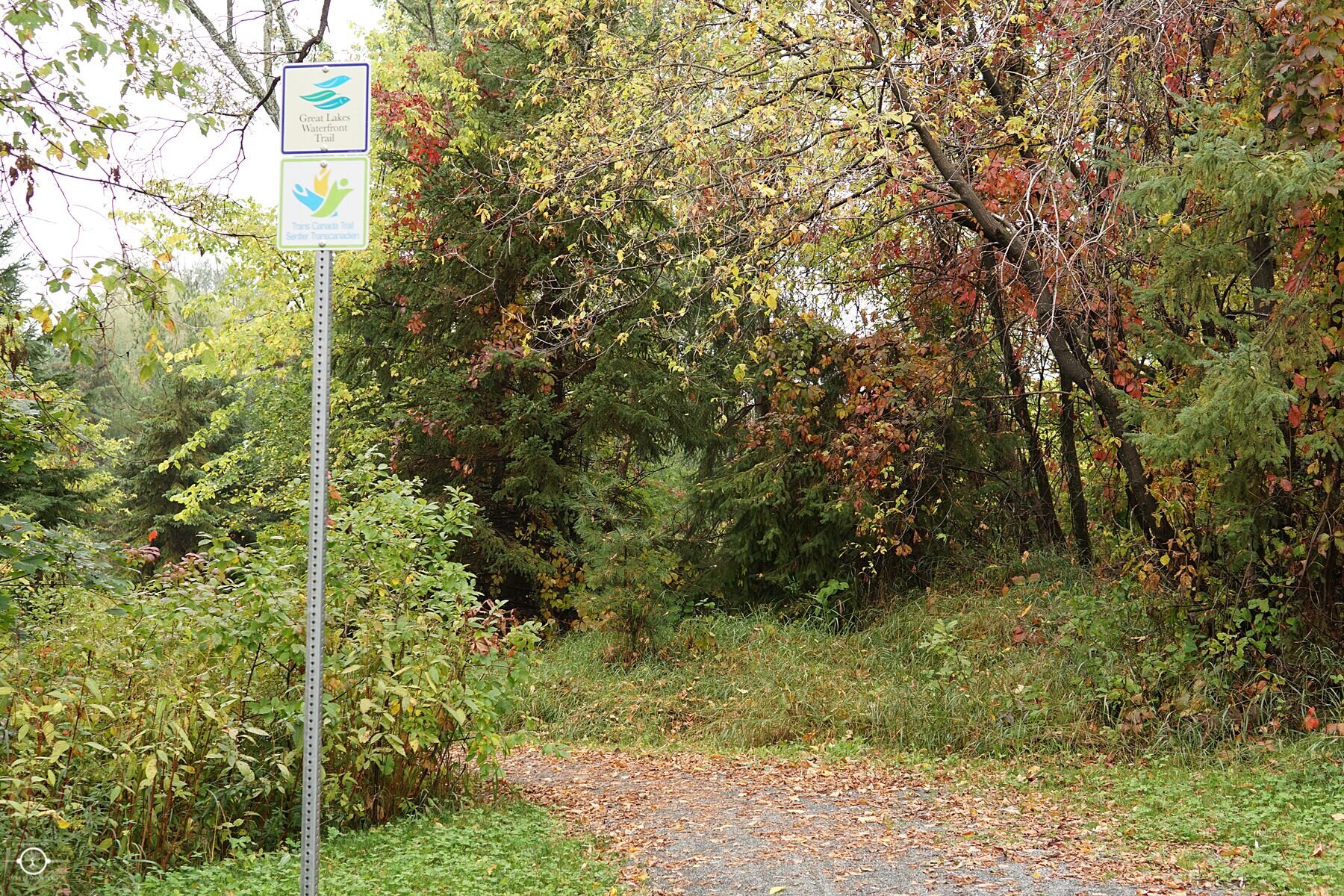
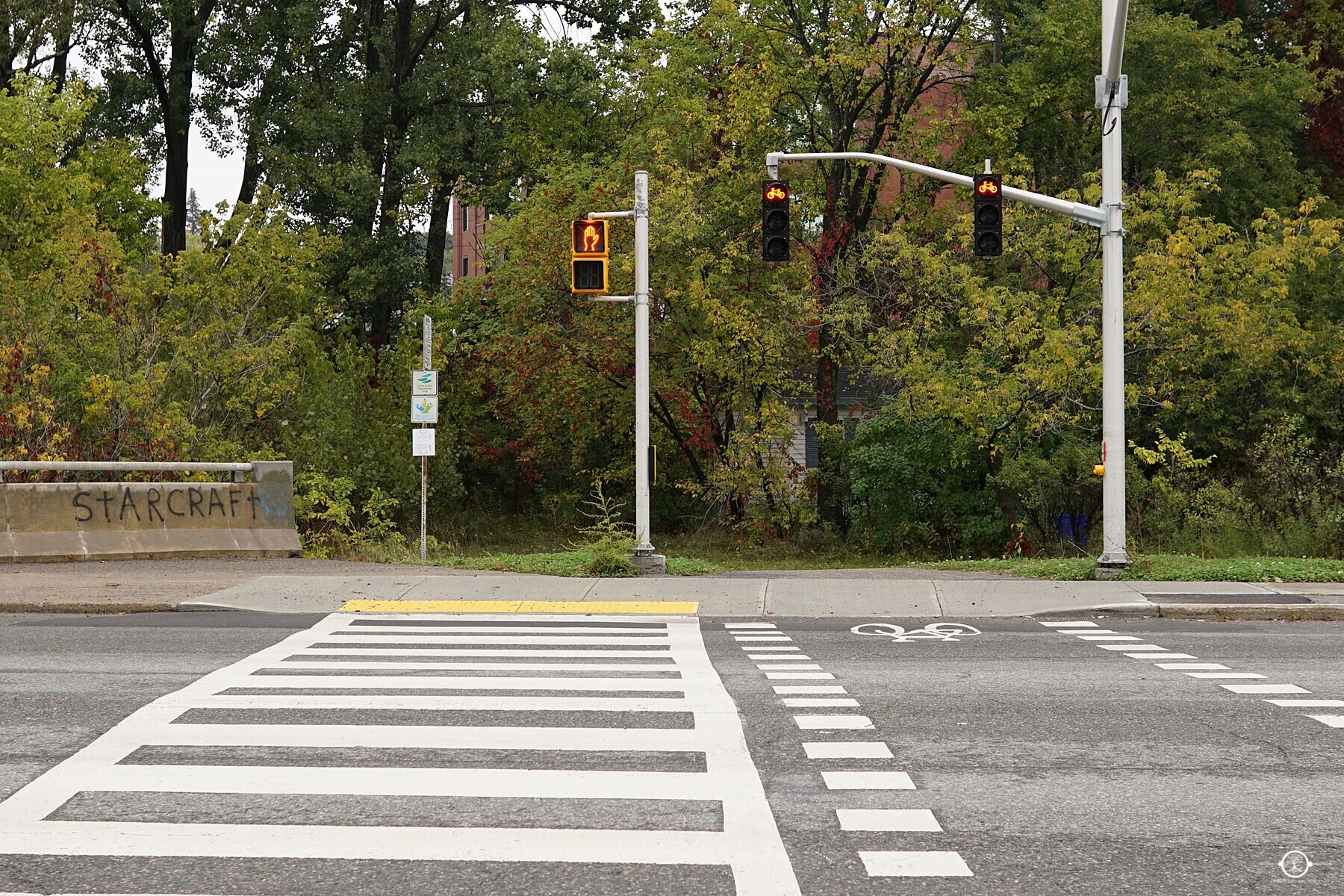
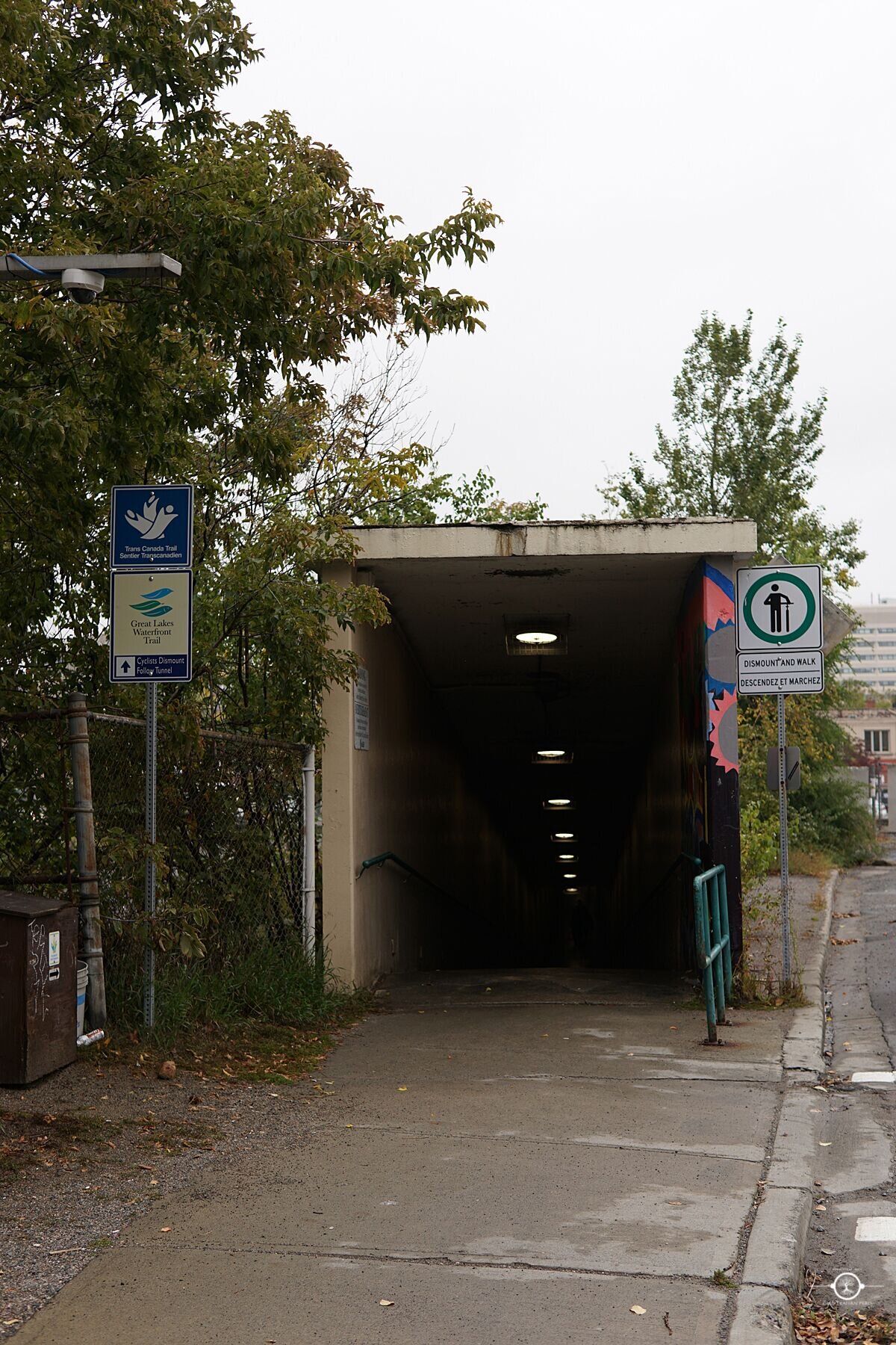
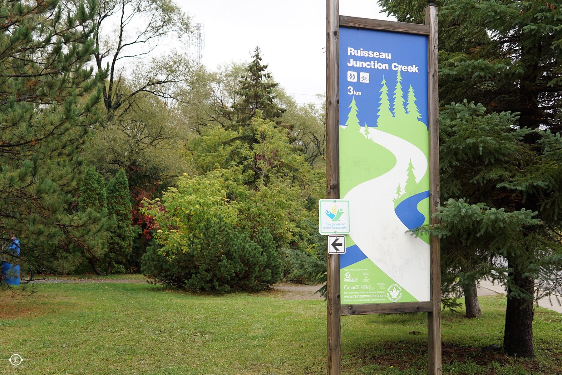
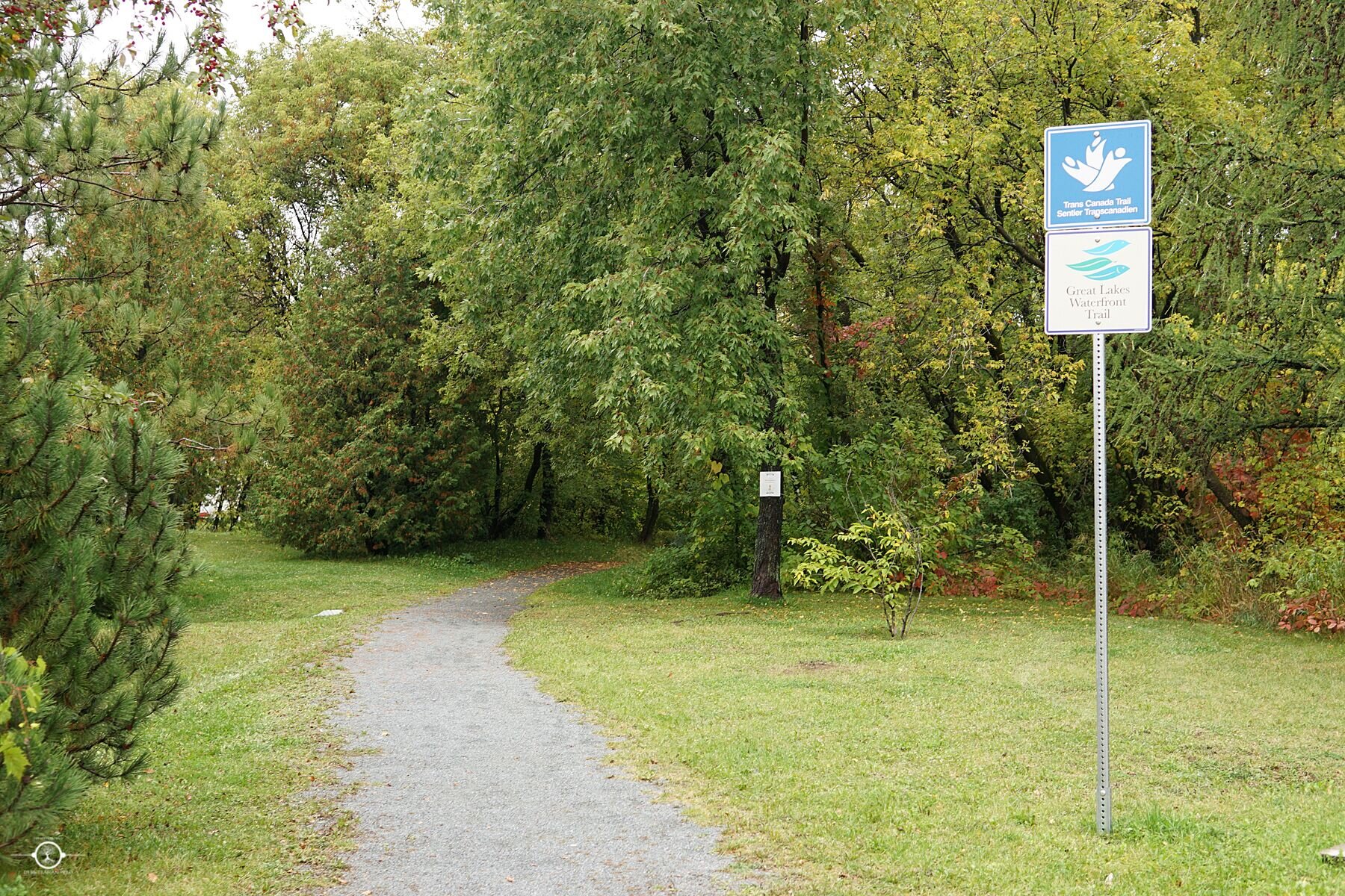
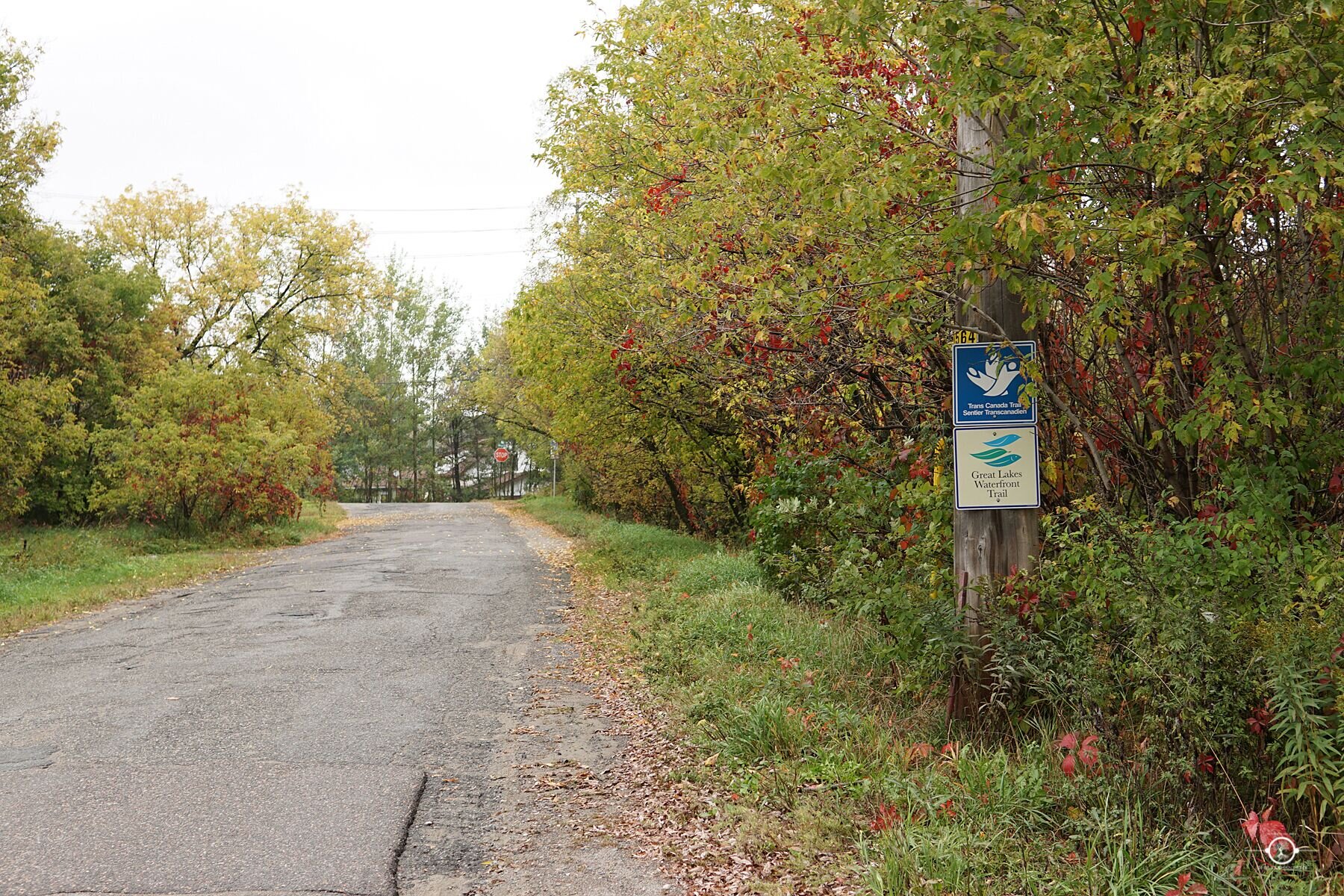
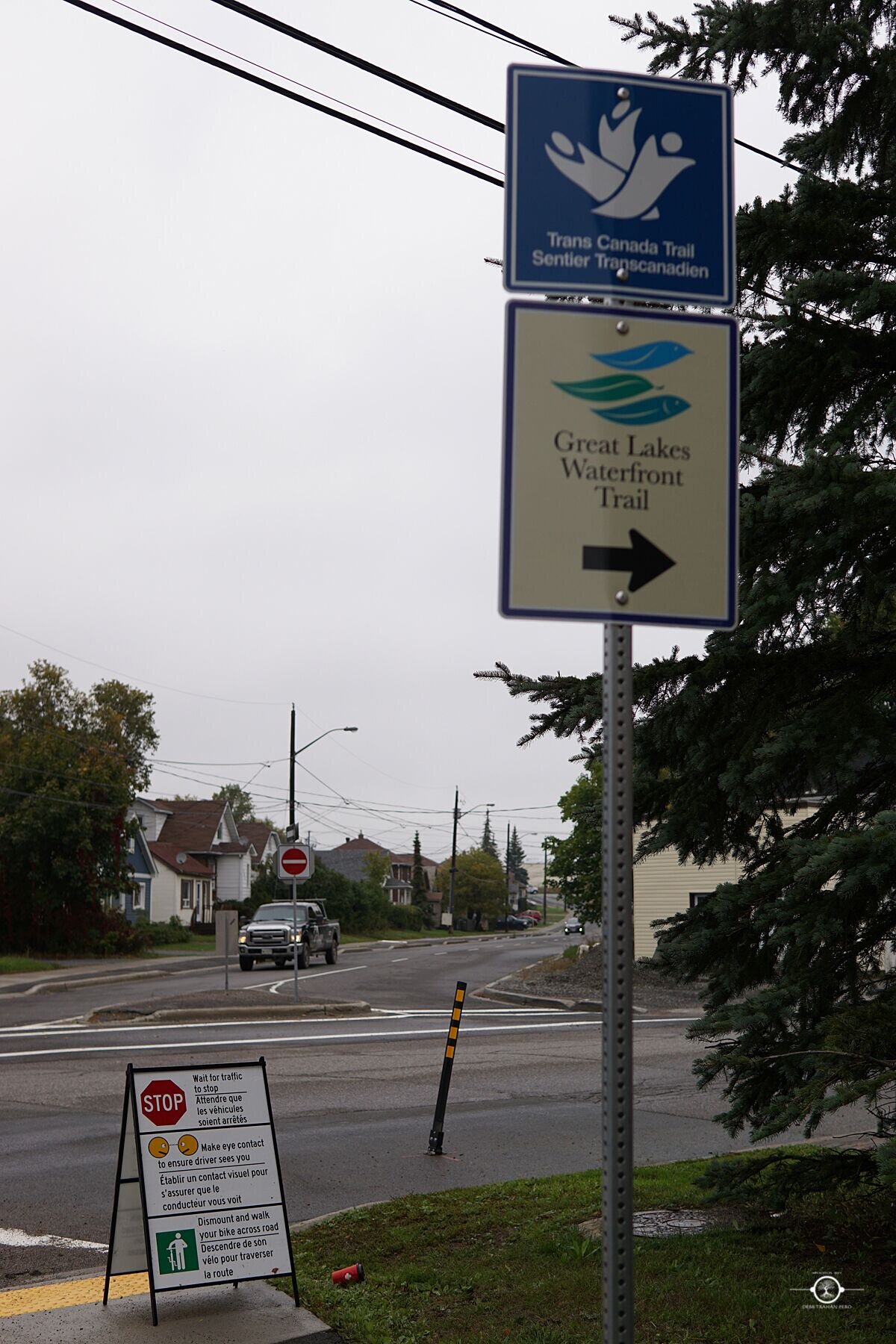
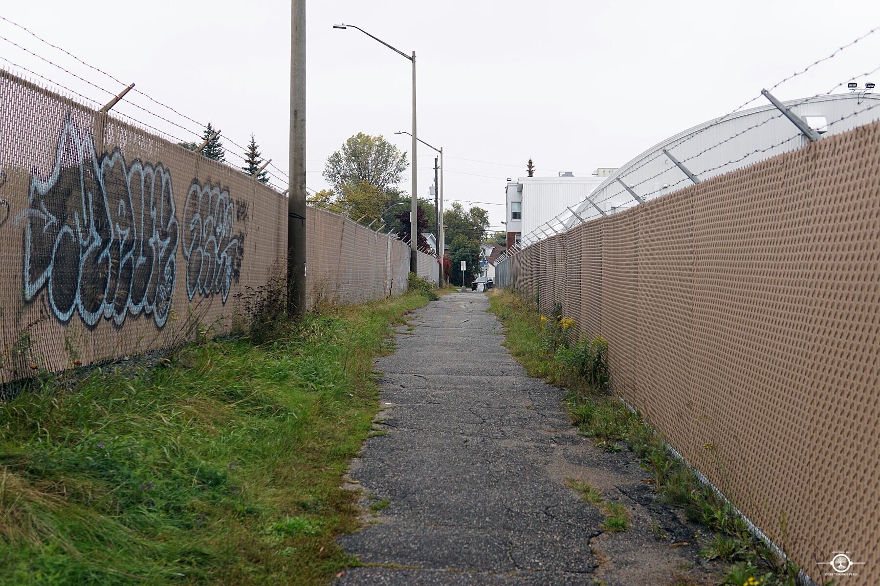
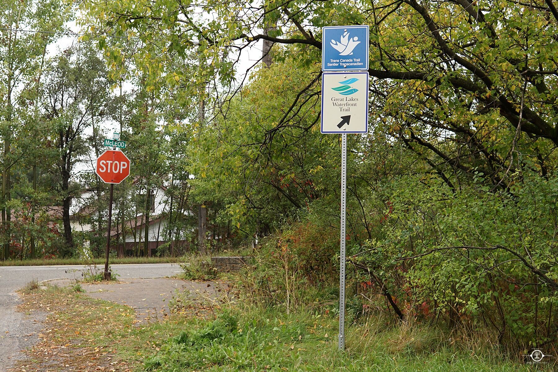
Directions: The trail entrance is located off of Martindale Road. A Rainbow Routes trail marker sign is visible from the road. This trail is similar to the route Martindale Road to Downtown. After emerging from the pedestrian underpass, continue left on Elgin St to stay on this route.
Modes of Transportation: walk, bike
Length: 3.2 km (incomplete)
Level of Difficulty: easy
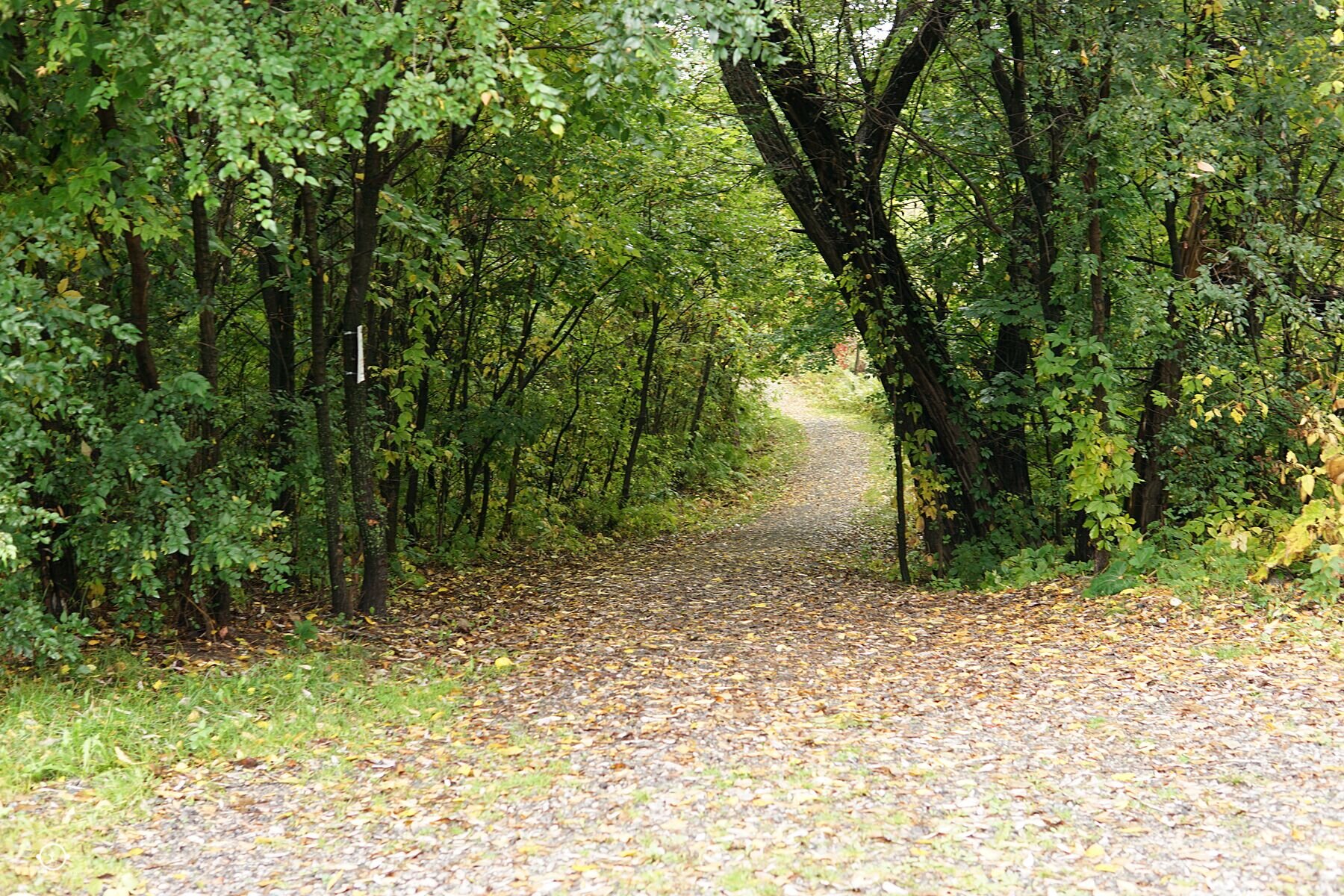
Trail Surface: hardpack, paved
Trail Type: linear
Trail Head: 17 T 498658 5146787
Trail Highlights:
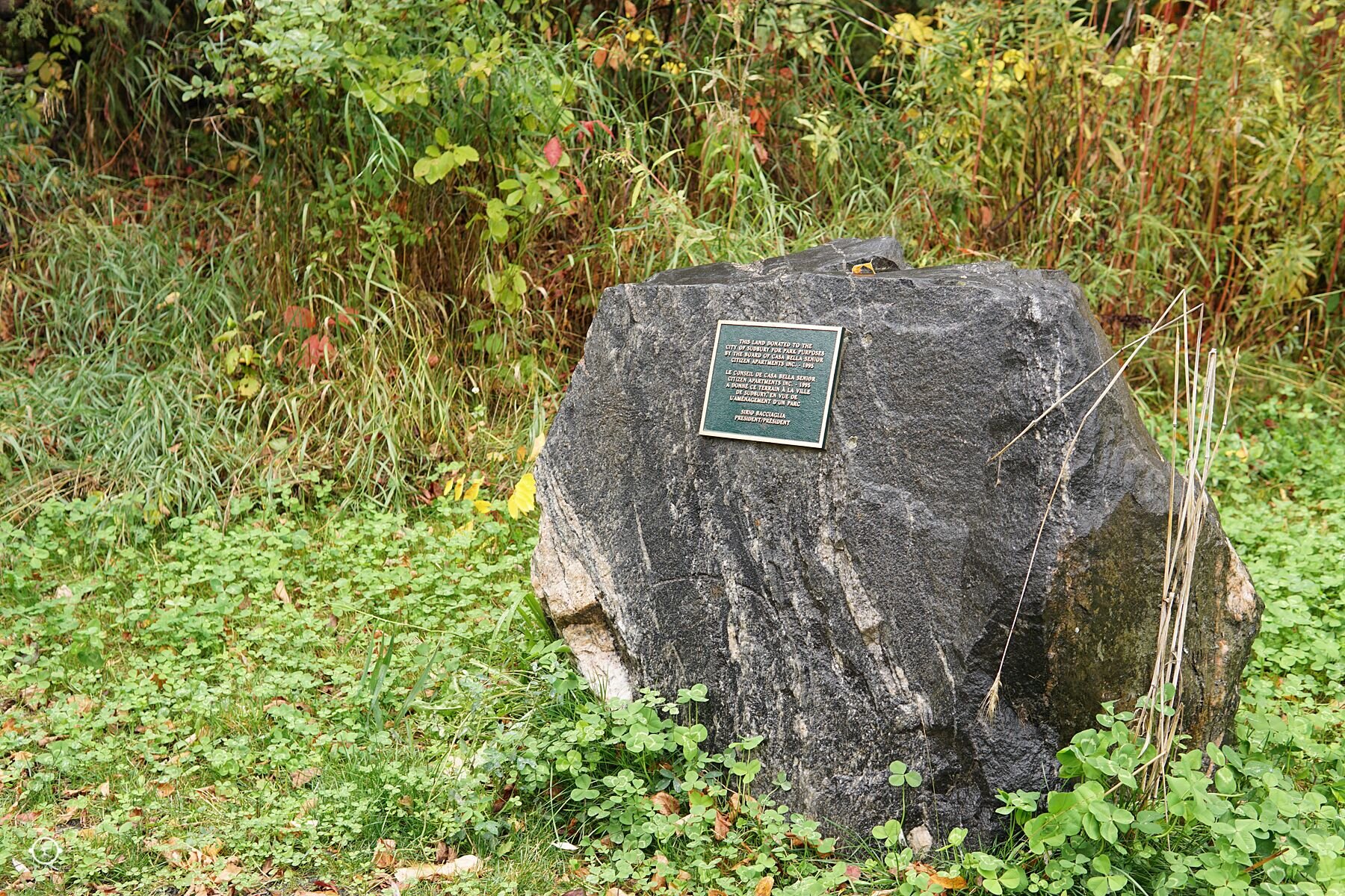
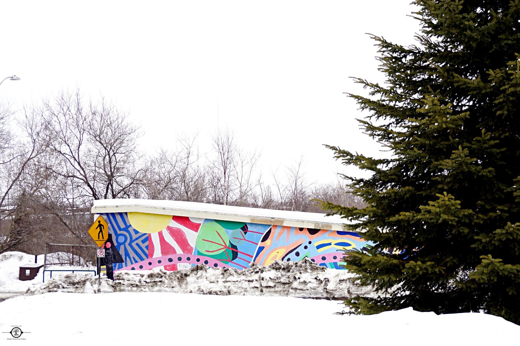
- Connects to Memorial Park
- Ends at Tom Davies Square, head of municipal services
- Incredibly scenic route
Trail Map: