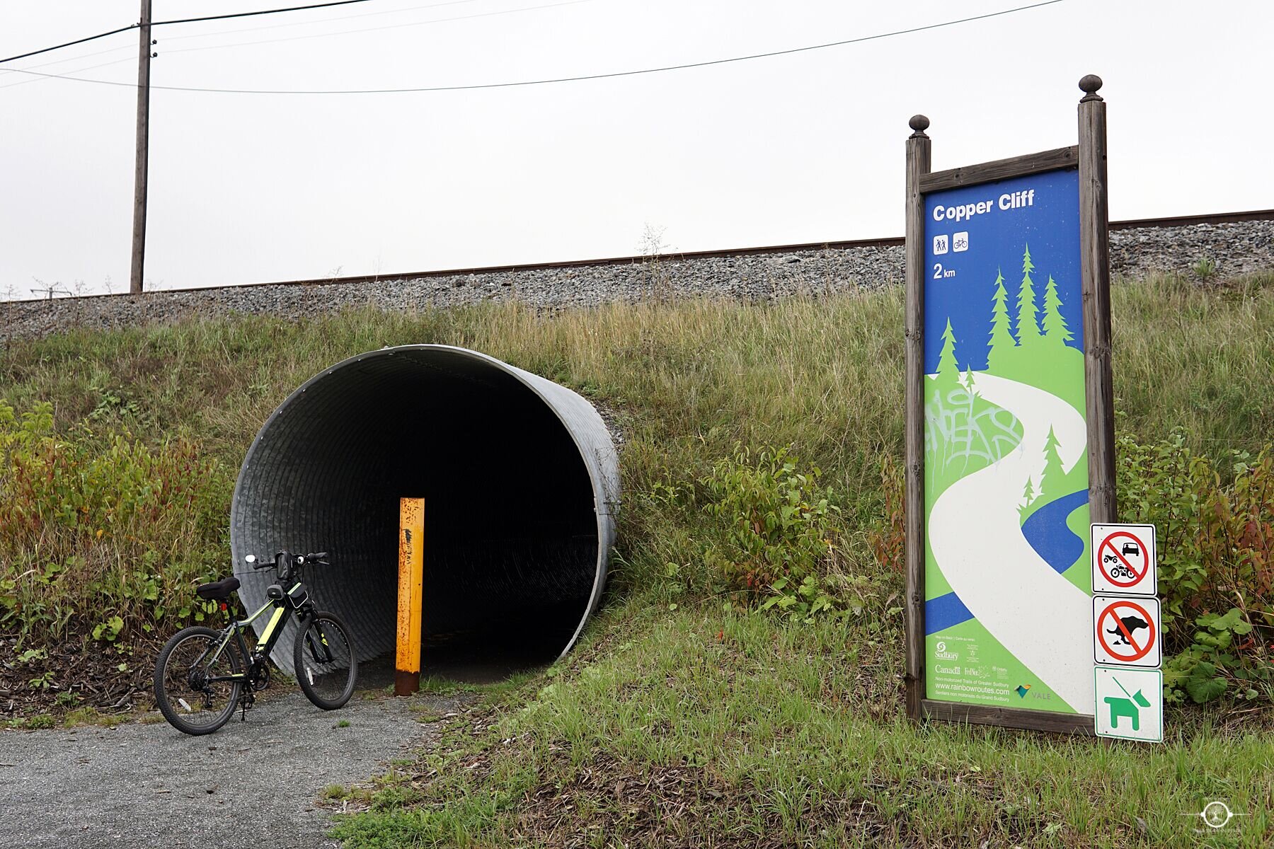
Copper Cliff
Location: Copper Cliff
Parking: none
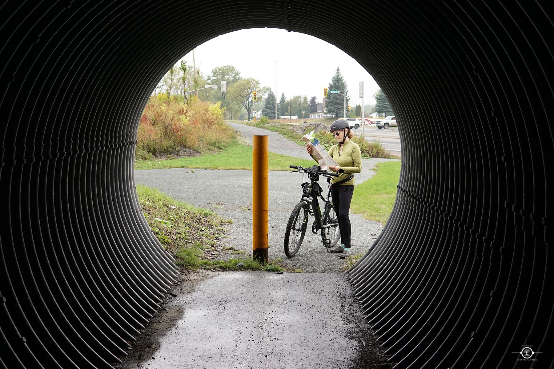
Directions: The trail entrance is located off of Old Highway 17, across from Benjafield Rd. A Rainbow Routes trail marker sign is visible from the road. The sign is located near the train underpass. An alternate entrance is located at the corner of Kelly Lake Rd and Lorne St.
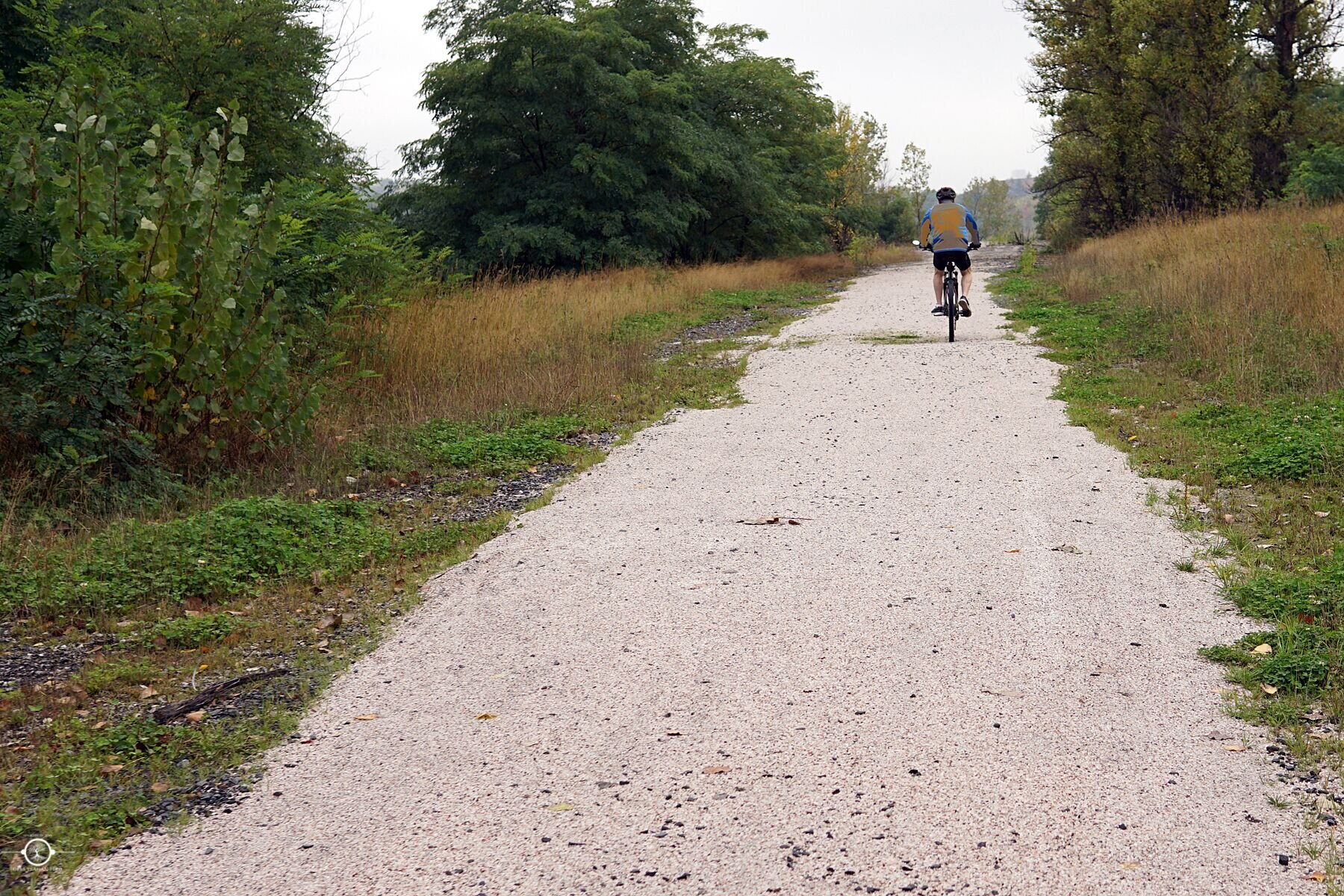
Modes of Transportation: walk, bike, snowshoe
Length: 2 km
Level of Difficulty: easy
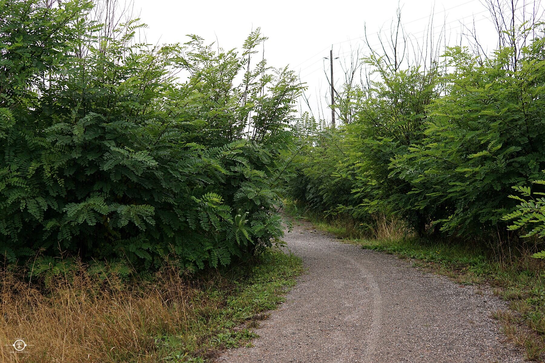
Trail Surface: hardpack, paved
Trail Type: linear
Trail Head: 17 T 495400 5146076
Trail Highlights:
- Connects the corner of Lorne St and Kelly Lake Rd to Benjafield Rd
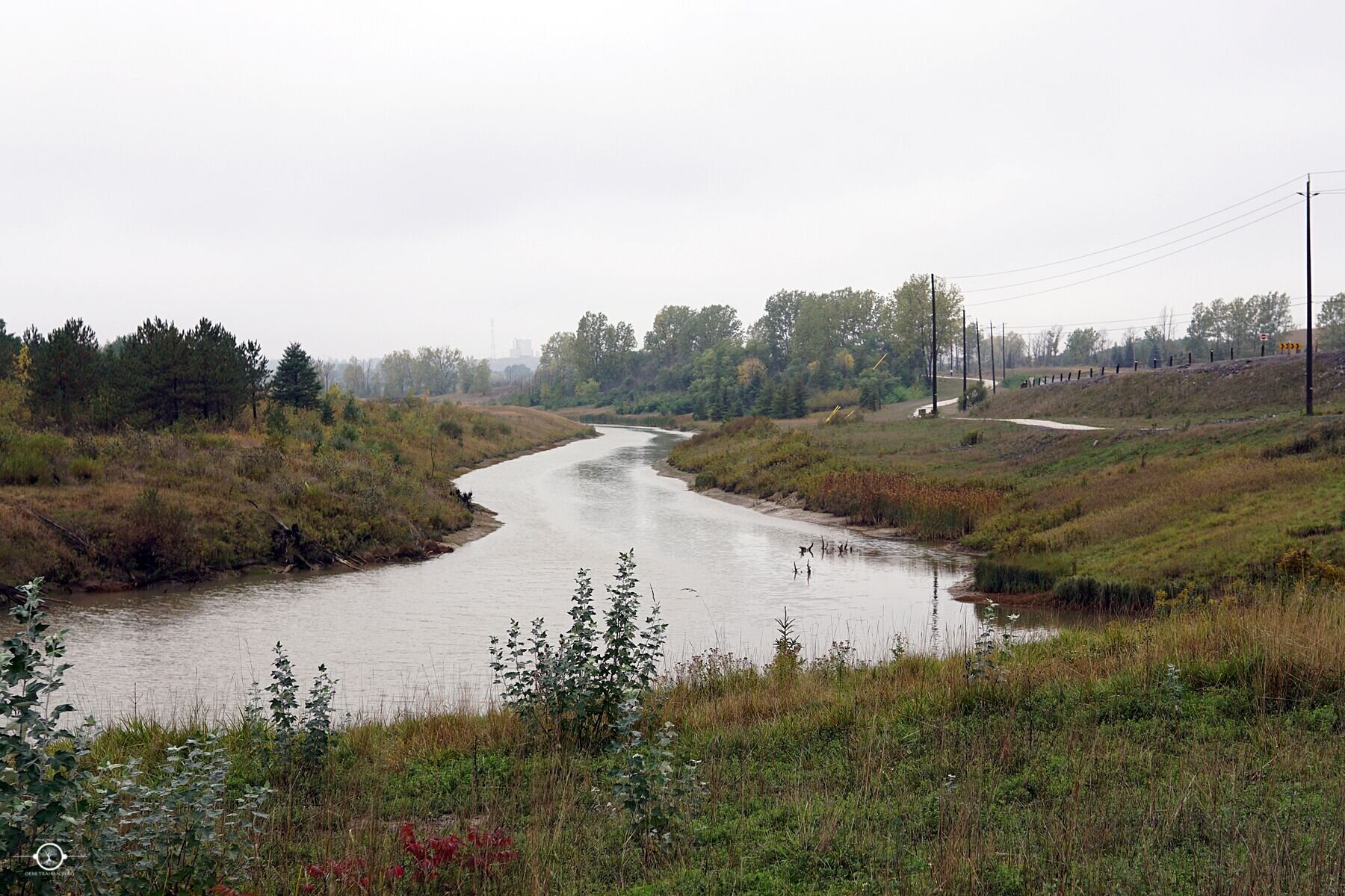
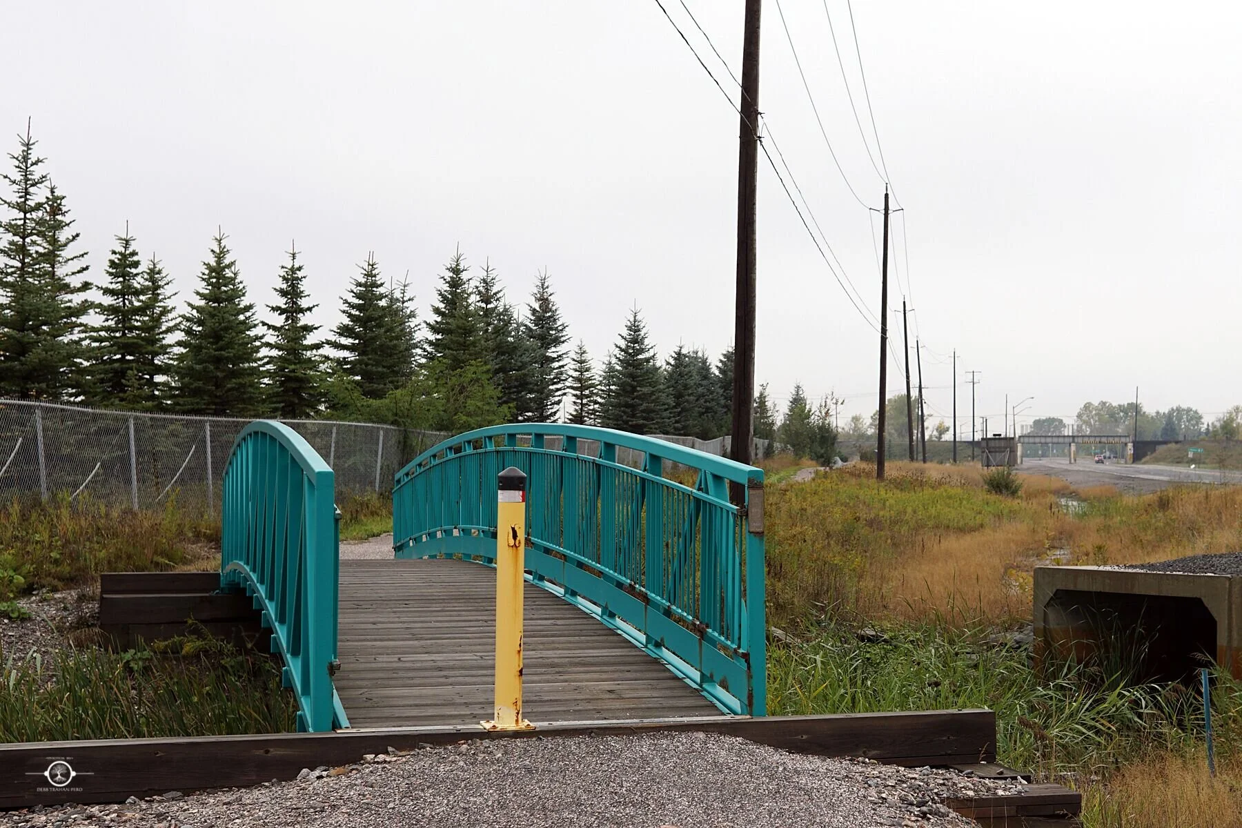
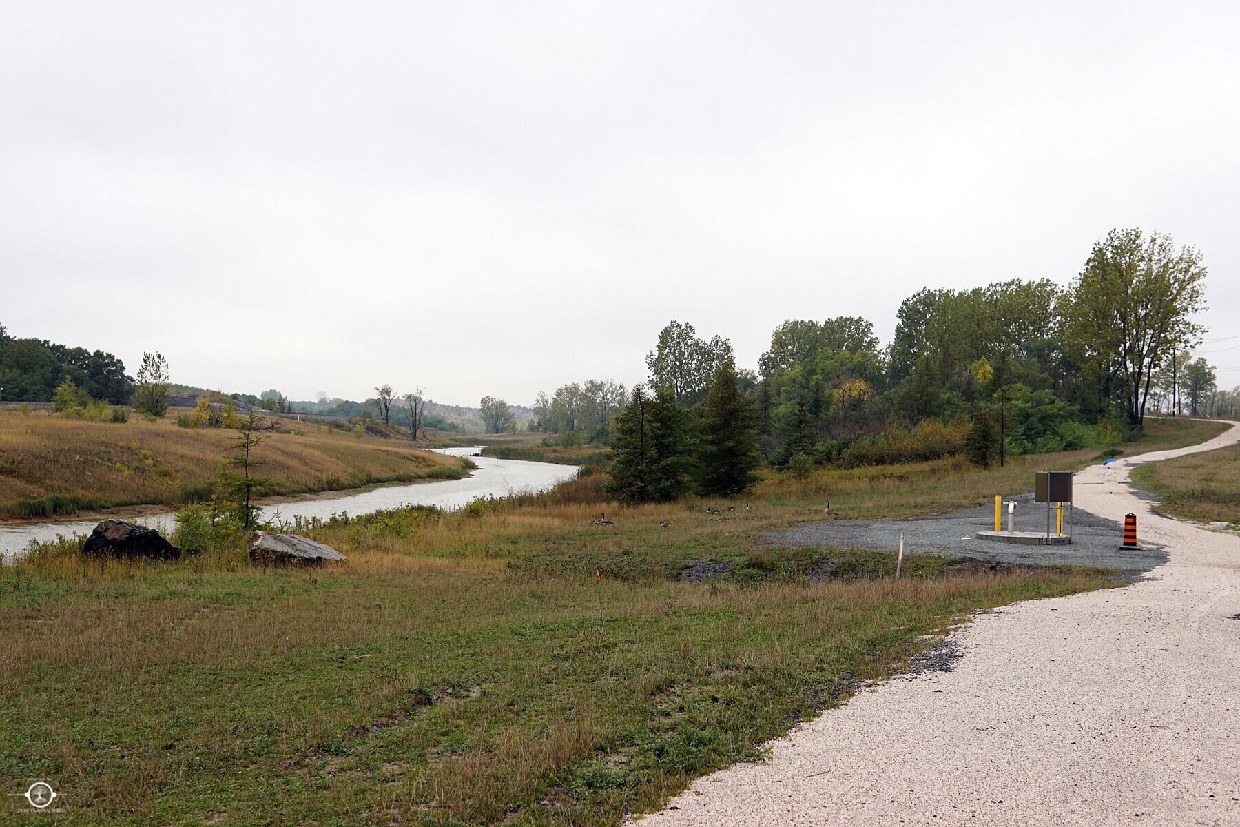
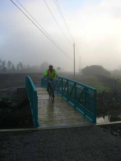
- Tunnel under rail line and bridge over Copper Creek
- Copper Cliff to West End (Balsam St. to Kelly Lake Rd.)
- Commuter friendly
Trail Map: